


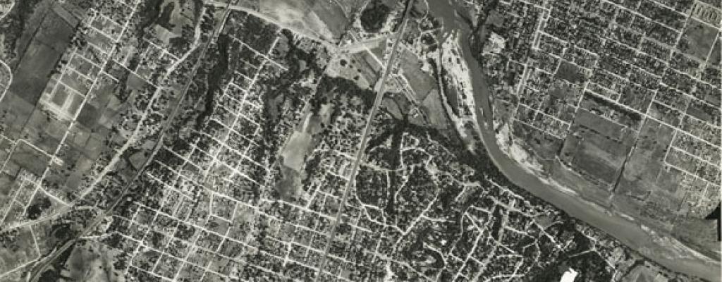
[Aerial view of Austin], September 10, 1940, 1940-COR-8-19
Aerial Photographs
The Austin History Center has Aerial Photographs of varying quality and usefulness for the years 1937 - 2007. For detailed information about our Aerial Photographs, please download our General Inventory of Aerial Photographs. Please note that the Inventory is in draft form and contains internal links that are only accessible to AHC staff.
The City of Austin’s Property Profile website is an online resource for aerial photos going back to 1940. Here are some brief instructions and tips for using the tool:
- Click the blue "Address Search" button in the top left corner.
- You can search a specific address, street intersection, or street segment/address by street name.
- TIP: Make sure to select the address from the drop-down menu to avoid errors. (More search tips can be found on the City's Address Search Tips page.)
- Once you’ve selected your address, hit the “submit” button.
- Click the map icon on the lower left of the map interface. Then, choose "Imagery."
- The map will be replaced by an aerial view of the address. A sliding bar will appear, allowing you to adjust the year of the aerial view.
Many aerial photographs are also available on the City of Austin's website.